Dossier Status of the fish stocks
Where do Belgian commercial fishermen fish? What species do they catch and how much? What is the state of fish stocks in those places, and how exactly is that calculated? When can we speak of a sustainably fished stock? Collecting, monitoring, integrating and unlocking fishery data is a core task of ILVO - a task that contributes to a complex evaluation process at the European level.
What does ILVO do?
-
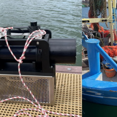
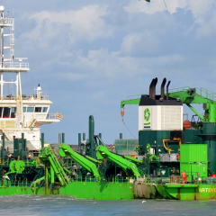
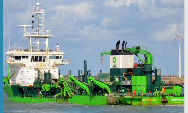
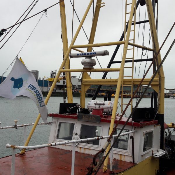
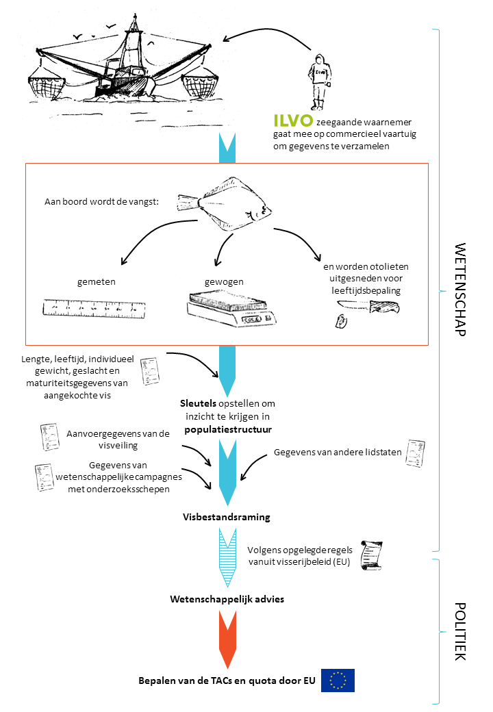
 ILVO samples fish stocks through surveys aboard research vessels and commercial fishing vessels.
From data to science-based recommendations
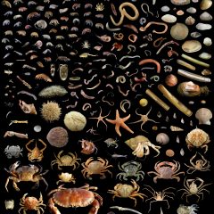
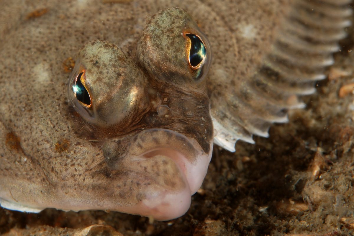
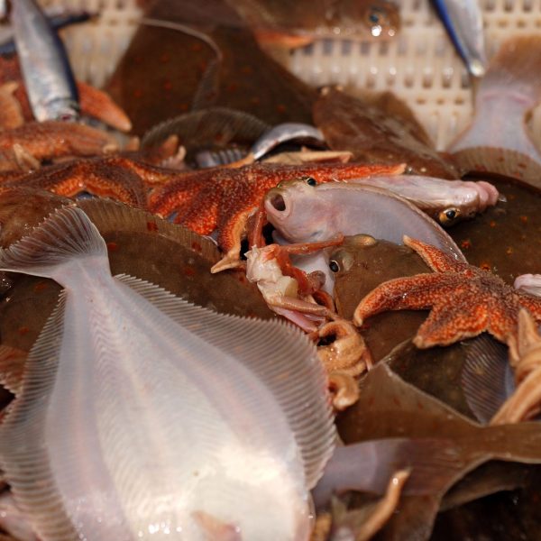
Belgian fishermen fish for more than 50 species of fish and shellfish in no fewer than 10 different fishing areas, from the Bay of Biscay in the south to Skagerrak in the north. The status of each of these species in each marine area is evaluated annually. Mainly ILVO experts are the ones collecting and supplying data about Belgian fisheries. These sea-going observers are responsible for collecting length, weight and age data of the fish in the catch aboard commercial fishing vessels. For this purpose, both landings and discards are sampled. The length of 17 fish species is determined using a digital measuring board. The weight is recorded separately for each species for landings and discards. In addition to determining weight and length, age is also determined for 11 fish species. This can be done by either cutting the bony ossicles or otoliths from the inner ear of the fish or, as done for rays, by using the vertebrae. The otoliths and vertebrae are processed in the ILVO age-determination laboratory, where the growth rings are counted and thus the age can be determined. With the collected data, so called 'keys' are created that establish links between length and individual weight of a fish or between length and age. Given that there are more length data than age data, these keys allow a conversion from length to weight or age. All these data give us a picture of what fish populations look like. For example, we can deduce how many adults there are and thus how many animals can account for reproduction and population growth. The number of young animals determines the near future of the fish stock.
The Belgian data, together with data from the other member states, are used to carry out fish stock estimations. This step is coordinated by ICES (International Council for the Exploration of the Sea). As one of the many European scientific fisheries institutes, ILVO participates in these ICES meetings. There, the biological state of the various fish stocks is determined by means of a number of complex calculations.
A science-based recommendation is thus formulated on the basis of these fish stock estimates. Each fish stock receives advice so that the sustainable management of the stock is guaranteed in the long term as specified in the European Common Fisheries Policy. It is this scientific advice that forms the basis for the political quota negotiations. They determine the final catch limits and their distribution among the member states.
From recommendation to quota
The science-based recommendations are translated by the European Commission into proposals for catch limits per fish stock, also known as TAC or Total Allowable Catch. These proposals serve as the basis for the negotiations of the Minsisters of the Fisheries. The TAC is divided per fish stock among the countries with catch rights for that fish stock on the basis of a historically determined allocation key. Thanks to this annual evaluation, relatively quick action can be taken if it appears that the situation of a certain fish stock has changed.
From overfishing to sustainable fisheries
Just after World War II, the pressure on fish stocks increased significantly. One of the reasons for this was an expanding fishing fleet. Since the 1990s, with the introduction of quotas, fish stocks have slowly been able to recover, partly thanks to the simultaneous reduction of European fishing fleets. In 1990, the Belgian fishing fleet still consisted of more than two hundred fishing vessels; now there are only about 70.
Based on the state of the fish stocks, we can now speak of sustainable fishing for a large number of European fish stocks. In the North Sea, plaice in particular is doing very well. That is why the European Commission describes it as a sustainably fished stock. Sole in the North Sea also recently received a positive evaluation. However, this is mainly due to the fact that there is a high recruitment, meaning there are many young fish. Clearly, fishing pressure is currently too high to allow for long-term sustainable management. In certain places, for example in the coastal zone, sole is doing less well due to local factors. Cod in the North Sea and eastern English Channel reached a low point in 2006. Since then, this fish stock has remained a source of concern.
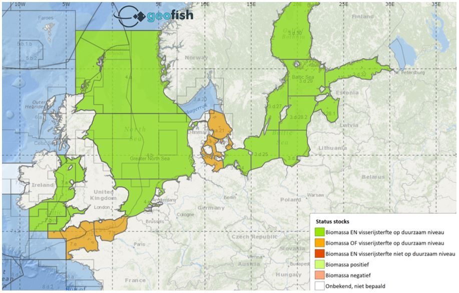
A picture of the fish stocks
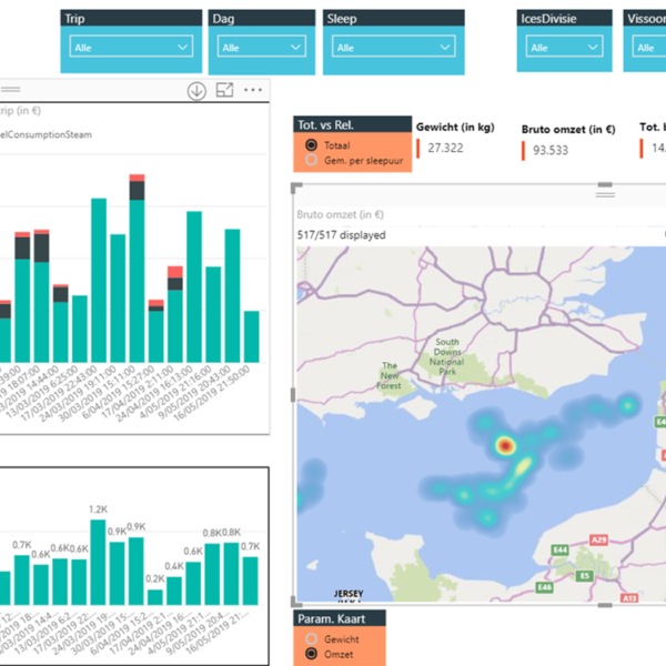
A fish stock is a subpopulation of a fish species according to habitat. Thus, for each species there may be several fish stocks (based on genetic differences or differences in spawning areas) that are evaluated separately over the years in terms of fishing mortality, spawning biomass (reproducing adults) and population growth. Moreover, fishermen from different member states visit different fishing areas. It is therefore not easy to get a picture of the fishery per country, per fish stock and per fishing area. That is why ILVO developed the GEOFISH tool (www.geofish.be). The tool collects all information on European regulations, marine spatial planning, state of fish stocks and economic results of the fisheries sector.
Since the end of 2020, the data on fish stocks (from 2018) are freely available. The essence of the GEOFISH tool is interactive visualization: the user selects the data he or she wants to know and the tool projects them on geographical maps. This facilitates the interpretation of the data and immediately shows variations between areas and between years or seasons. The tool is accessible to everyone.
Research projects