Research project Water balance study Oudlandpolder for a climate-proof water andwater level management and long-term objectives for agriculture, and nature
General introduction
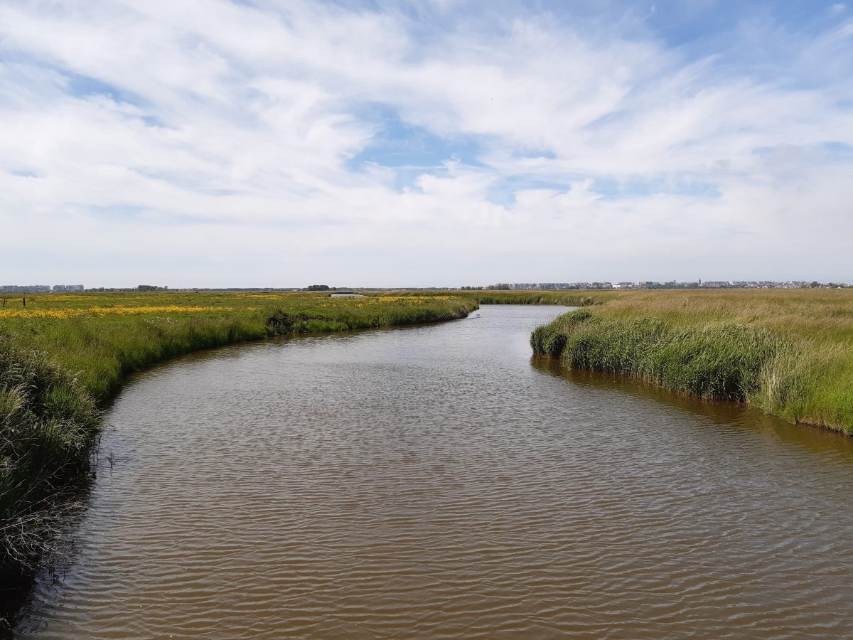
The aim of the project is to limit the risks of drought, salinization and flooding in the Oudland Polder by means of a coordinated and adapted water and land management, which at the same time takes into account the diverse land uses within the polder. After all, agricultural and nature-oriented land can often be found close to each other, each with their own water needs.
Research approach
The collection of all available relevant data is an important part of this project. Based on these data a water and salt balance model will be drawn up, and management strategies will be explored based on these data. The data must therefore provide insight into the integral system functioning, i.e. the broad water system (including interactions with water outside the Oudlandpolder) and the ecosystem. The description in the plan of action is structured as follows: Watershed; meteorological data; surface waters; effluents, discharges and captures; groundwater; water quality; note for handling of data gaps; nature; agriculture.
Relevance/Valorization
The Oudland polder was reclaimed from the sea about a thousand years ago, which poses particular drought, salinization and flooding risks. Apart from the precipitation that falls directly on the polder, the area has no freshwater sources of its own and only limited drainage options. The underlying saltwater poses additional management challenges. Climate change adds to these challenges, mainly through changing precipitation patterns and rising sea levels. A well thought-out and adapted water management is crucial to reduce the current and future risks and to maximize the potential of the polder.

