Research project Optimization of grassland exploitation using a decision support tool


General introduction
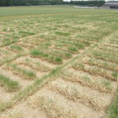
The aim of this project was to develop a model-based decision support tool for grassland farmers. This tool takes into account current weather conditions, soil physical parameters and grassland management (including mowing regime) to accurately predict grass growth and quality. The model was integrated into an online platform where farmers can obtain field-specific information about fertilisation requirements based on crop demand, (potential) grass growth, yield estimates and an indication of grass quality. Using the tool can increase the yield of mowed grass of optimal quality and will increase the financial return per hectare, which will benefit the profitability of the business.
Research approach
The researchers used historical data and practical plots that were thoroughly monitored and documented for the model. Based on this data, a process-based grass model (LINGRA-N-Plus) was linked to a machine learning model (Random Forest) to predict grass growth on a daily basis. This allows farmers to see the condition of their grassland plots at a glance every day via a dashboard. In this way, they can determine the mowing time more accurately and estimate what additional fertilization is needed.
Relevance/Valorization
With the developed tool, grassland farmers can achieve optimal yields in a more sustainable manner within the current stringent fertilization standards and changing climate conditions. Use of the tool increases farm profitability. Grass is a very important forage crop in Flanders and worldwide, with a huge acreage. Grasslands must be preserved to prevent and mitigate the effects of climate change.